TEMPERATURES are set to drop this week – with the hint that west Wales could see some snow at the weekend and into next week as an arctic airmass moves over the UK.
Gritters are out across Ceredigion this evening with temperatures in many parts of Wales set to drop below zero.
The mercury is set to drop even further as the week progresses as an arctic maritime airmass pushes across the UK from the north bringing us some cold days, overnight frosts and a risk of wintry showers and snow.
Met Office Deputy Chief Meteorologist, Rebekah Sherwin, said: “Temperatures will start to dip this week, with daytime temperatures struggling to get above freezing in many places from mid-week onwards. However, the cold air from the Arctic will also bring brighter conditions, with some dry, sunny spells in many areas, particularly away from the coast.


“Showers will turn more wintry as the week goes on with a risk of snow at times.
A yellow National Severe Weather Warning for snow has been issued for Wednesday covering northern Scotland.
“We can expect to see some snow and wintry showers further south as the week progresses, particularly in coastal areas or over higher ground. There will be widespread frosts with temperatures falling to as low as -10°C overnight in isolated spots by the end of the week.”
A Level 3 Cold Weather Alert has been issued by the UK Health Security Agency covering all of England from Wednesday evening through to Monday 12 December, but no warning is currently in place for Wales.
Although there are some uncertainties around how long this cold spell will last it is expected to stay cold into next week with temperatures remaining well below average for the time of year.
Wednesday to Friday in Wales are set to be mainly dry with some sunny spells
Staying mainly dry with clearer skies and sunny spells continuing. Isolated showers are possible, and these could turn wintry by Thursday. Becoming increasingly cold with widespread overnight frosts.
From Saturday to Monday, 19 December, cold weather is expected to continue through at least the first part of this period, with widespread and locally severe overnight frosts.
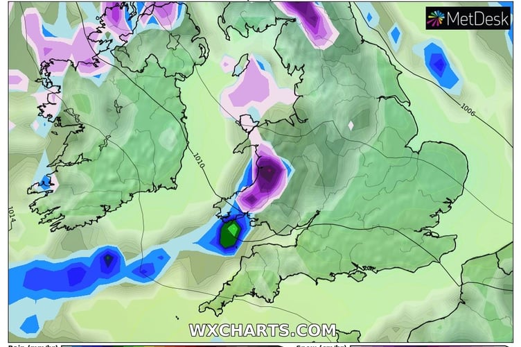
Many coastal regions will see periods of wintry showers, with snow most likely on high ground but perhaps also to lower levels at times in these areas.
Inland areas, by contrast, should see more in the way of fine and dry weather with the potential for some crisp, sunny days, although more limited spells of rain, sleet or snow cannot be ruled out. As time goes on, there is an increasing chance of milder air spreading from the southwest bringing longer periods of rain, with the potential for more widespread snow for a time on its leading edge, but low confidence as to when this might occur.