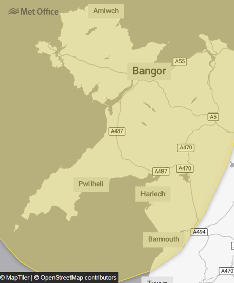
A yellow weather warning for wind has been issued for Sunday and Monday, affecting large parts of Gwynedd.
The Met Office say strong winds could lead to some travel disruption from 3am on Sunday through to 12pm on Monday.
The Met Office say there is a small chance of longer journey times or cancellations as road, rail, air and ferry services are affected.
They add there is a slight chance of some damage to buildings, such as tiles blown from roofs, and a small chance that injuries and danger to life could occur from large waves and beach material being thrown onto sea fronts, coastal roads and properties.


.jpeg?width=209&height=140&crop=209:145,smart&quality=75)
There is also a slight chance that power cuts may occur, with the potential to affect other services, such as mobile phone coverage, a small chance of injuries and danger to life from flying debris, and a small chance that some roads and bridges could close.
They said: “A windy period is expected across the whole of the UK on Sunday and into Monday, but across parts of Scotland, Northern Ireland, Northwest England and North West Wales there is an increased chance of some disruption.
“Initially a period of strong south to south-easterly winds will likely develop through Sunday morning, with gusts of 50-60 mph possible in some inland areas, especially Northern Ireland and western Scotland, and perhaps up to 60-70 mph along exposed coasts and hills.
“Winds will then likely turn south-westerly, with a period of especially strong winds possible during Sunday afternoon and evening in western Scotland where gusts could potentially reach 70-80 mph in exposed areas, and more generally 55-65 mph in other parts of the warning area.
“These strong winds in conjunction with high spring tides may cause some disruption.”
Comments
This article has no comments yet. Be the first to leave a comment.